
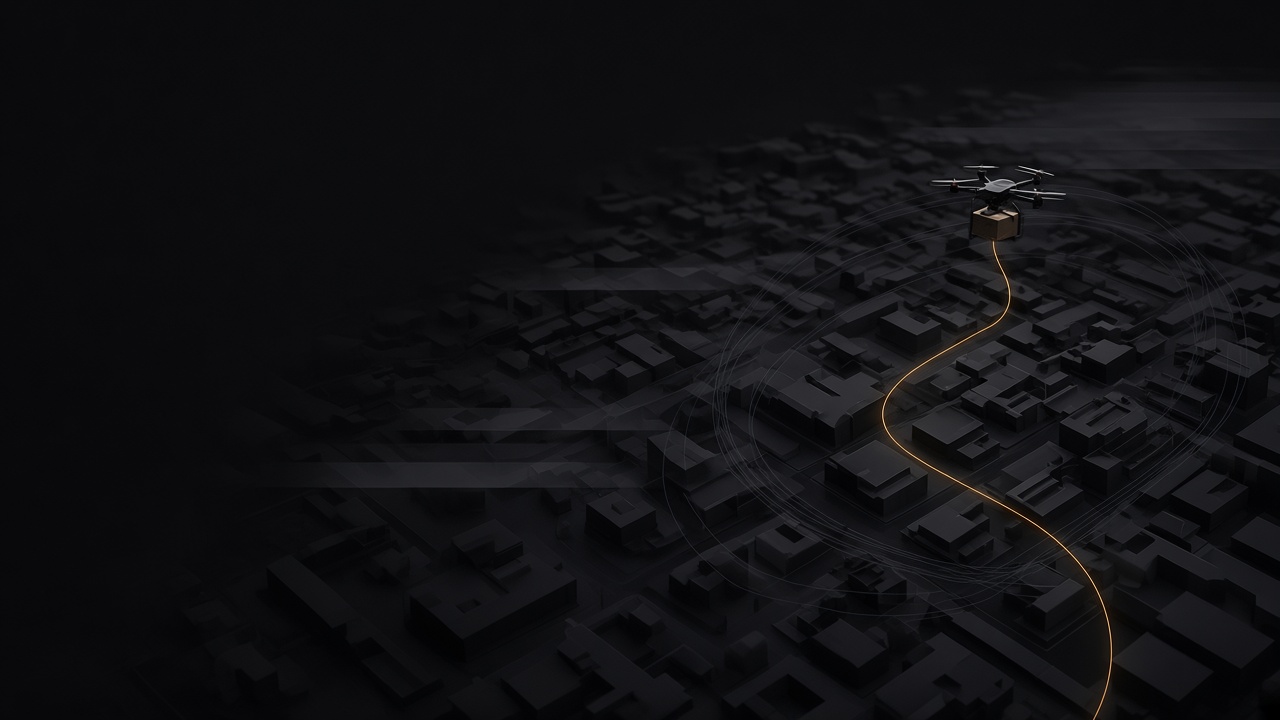
Civil airspace and city streets.
Digital twins of real places, where delivery drones and ground robots are verified before they operate there.
The place, before the first flight.
A city is built the way every Coldrange twin is built, from measured elevation, aerial imagery and map data, with building heights and roofs from LiDAR survey where it exists. Above it sits the airspace, in layers: where a drone may fly, how high, and where it may come down if it has to.

One simulation, thousands of scenarios.
A single test flight shows what happened on one day, in one wind. Coldrange runs it through thousands of scenarios, each one different: wind and gusts at height, the hour and the season, the people and traffic below, a weak position fix or a lost link, and the vehicle’s own settings and software.
Each run is recorded and scored. Together they show where the system stays inside its limits, where it does not, and which settings and routes work best.

Somewhere to land, all along the way.
Plan a landing place for each point on a route, and test what happens when the drone has to use one, with the distance it has to cover and the ground it crosses on the way down.

A pilot, an autonomy stack, or both.
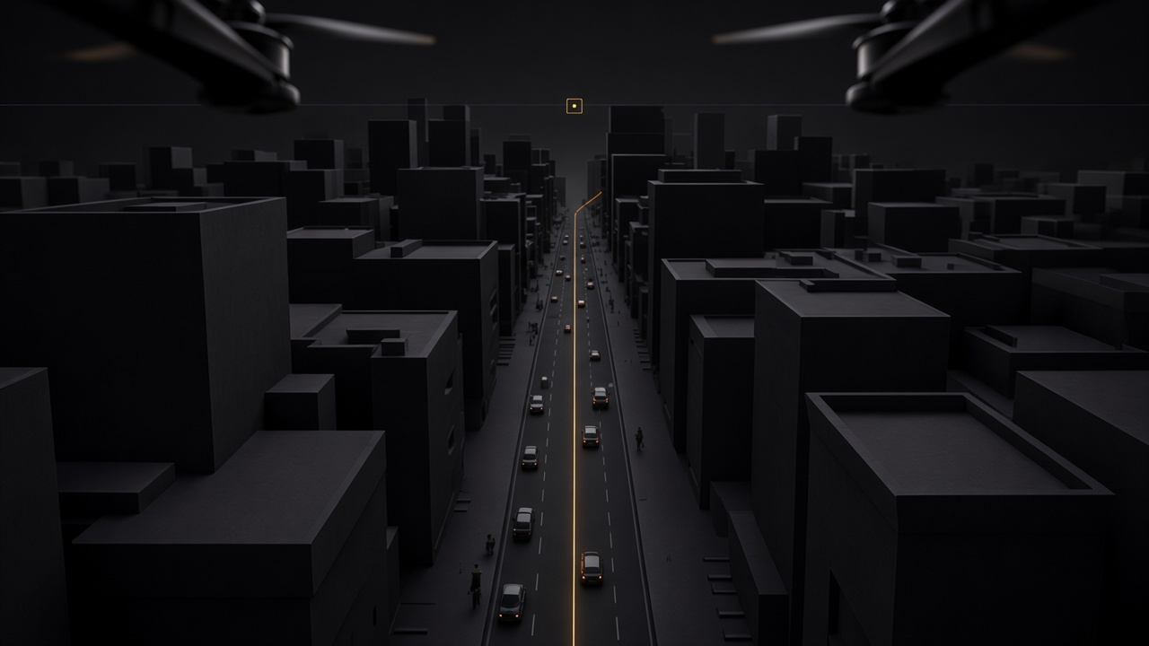
Fly the route by hand in first-person view, the way a pilot will. Or hand it to the autonomy stack and watch every decision it makes. A person can take over mid-flight and give control back, and the handover is part of the record.
The controller shows what it does before it flies over anyone.
Connect the flight controller that will fly the route. Through ArduPilot SITL it flies the twin on its own firmware, through the situations it is required to handle. Change it and run the whole set again, earlier passing runs included, until it holds.

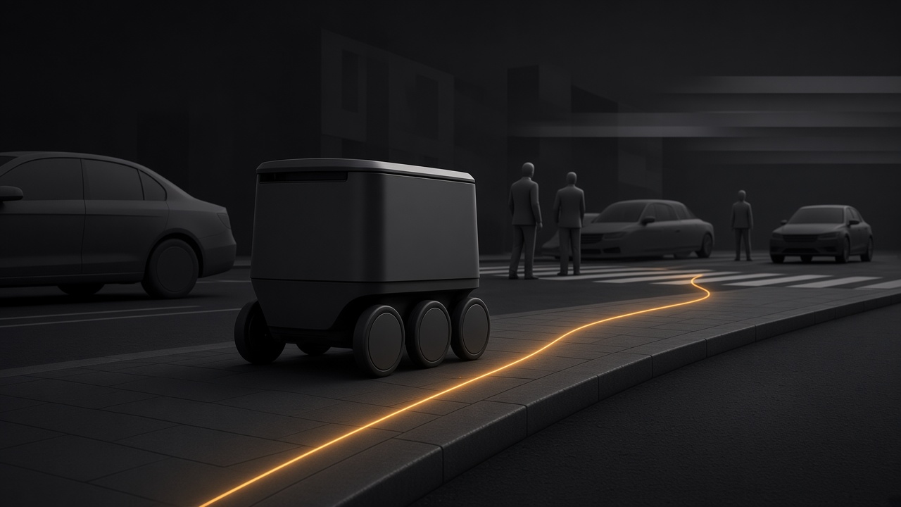
Ground robots on real streets.
Delivery robots run in the same twin at street level, among curbs, crossings, parked cars and people on foot. They are run and recorded the same way as the drones overhead.
A record you can show.
Every run keeps the route, the vehicle and its software version, the conditions and the outcome. You get back a record of how the system behaved and why, to share with whoever has to decide whether it is ready to operate.
Built to keep city data and flight records in Europe.
Coldrange is built to keep the geodata a twin is built from, and the record of every run, in Europe and under the control of whoever owns them: in our environment, in a dedicated one, or on your own premises. Open formats and European models, or your own, so the data is not locked to us.
- Our environment
- A dedicated one
- Offline, on your premises
Tell us what you need to prove.
If you build or operate delivery drones or ground robots, or you plan the airspace they fly in, tell us what you need to verify.
Coldrange is new. The experience is not. The team has more than a decade of building hardware-in-the-loop systems, software that talks to real hardware from drones to tanks, including projects for NATO and the British military. It also brings decades of international business experience, and a track record of successfully building and scaling ecosystem products.
hello@coldrange.ai